Archive for the ‘Travel’ Category.

Bonaire

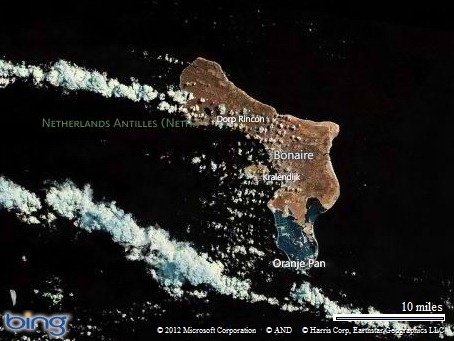
Map picture

Christine and I just returned from a week in Bonaire.  When I told friends that we were going to Bonaire most of them hadn’t heard of it before.  I hadn’t either until sometime this fall when someone at work mentioned it.

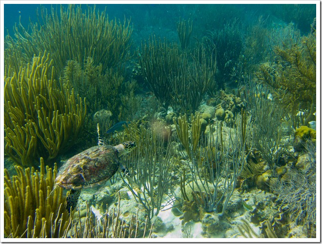
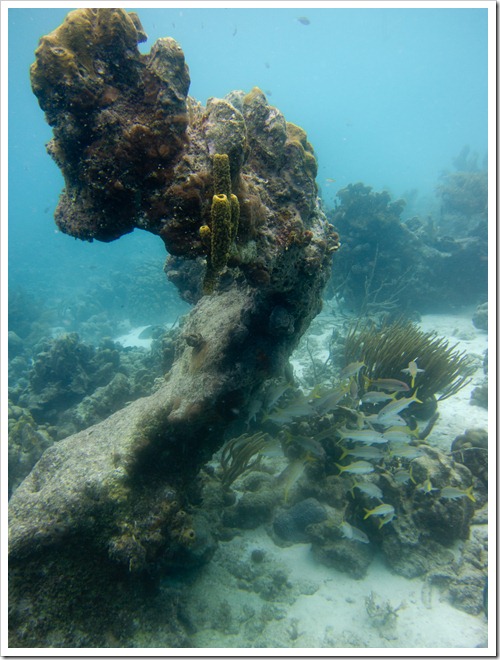
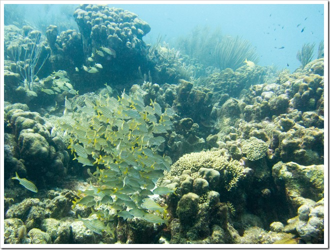
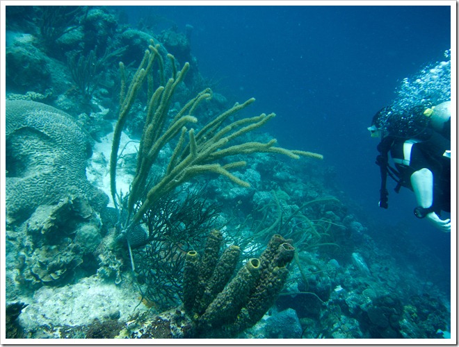
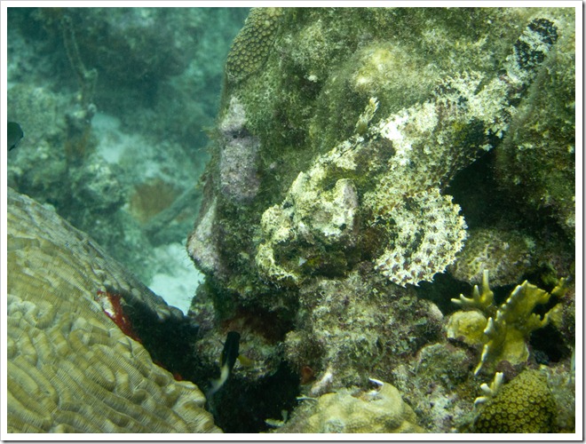
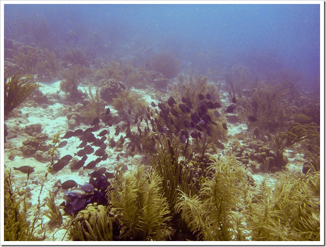
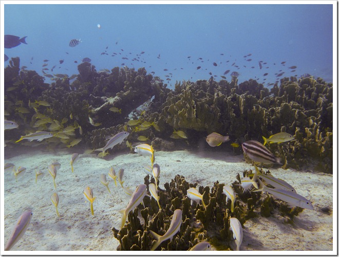
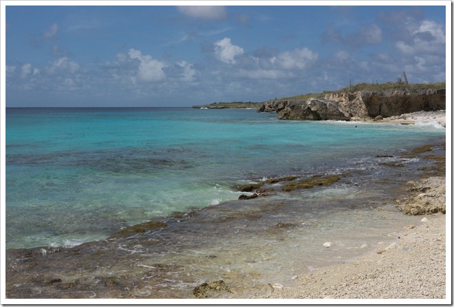
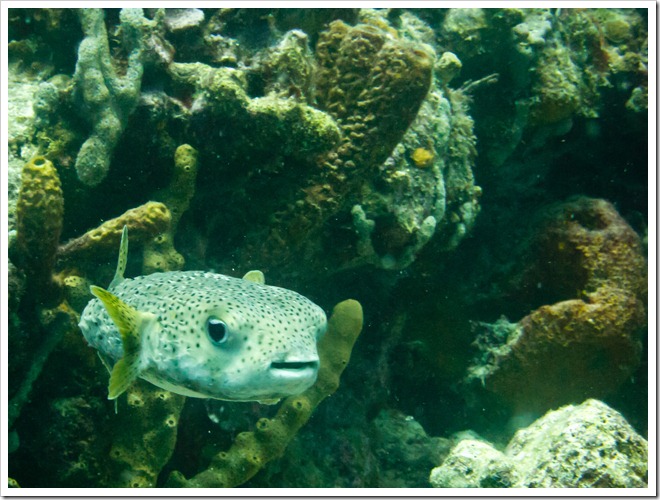
Bonaire is in the south end of the Caribbean, just north of Venezuela.  It is best known by scuba divers (for it’s pristine reefs, most of which are accessible from shore) and wind surfers.  We came primarily for the scuba diving, and it was just incredible.  There are about 50 dive sites located down the west side of the island, and almost all of them can be accessed from shore (saving a lot of money compared to diving off of a boat).  There were reefs with countless wildlife and cool double reefs with interesting underwater topography.  The reefs have been protected as part of a Marine Park for 30 or 40 years and as a result are in very good shape.  They strictly forbid touching anything underwater, fishing, anchoring boats, or anything else that could damage the marine infrastructure.  The water is also very clear here, and a lot of the good diving was at 50’ or less, allowing for long dives (the deeper that you go the more quickly you consume air and the longer breaks that you require between dives).

Almost all of the tourists are here for the diving, but it still didn’t feel crowded.  I went on 11 different dives in 6 days and we only saw other divers 2 or 3 times.  Since everything was shore accessible we didn’t have to go with a guide or in large groups.  It was really relaxing to dive at our own pace and whim.

Our favorite dive sites were Something Special (for the amazing quantities and diversity of fish), Angel City (a really cool double reef,where you can swim along a valley between two reefs),and Tolo (great coral and fish).

IMG_4471

IMG_4493

IMG_4641

IMG_4365

img_4543

IMG_4578

P1010806

P1010954

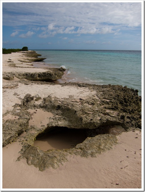
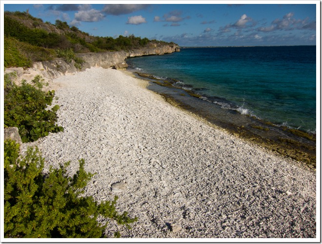
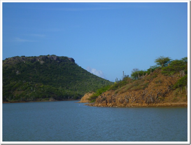
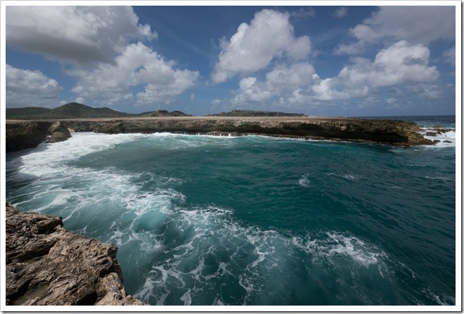
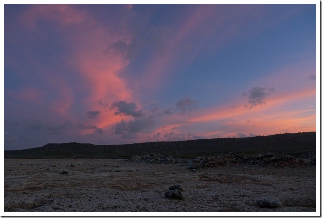
This is what a couple of the diving beaches looked like:

IMG_4536

IMG_4408

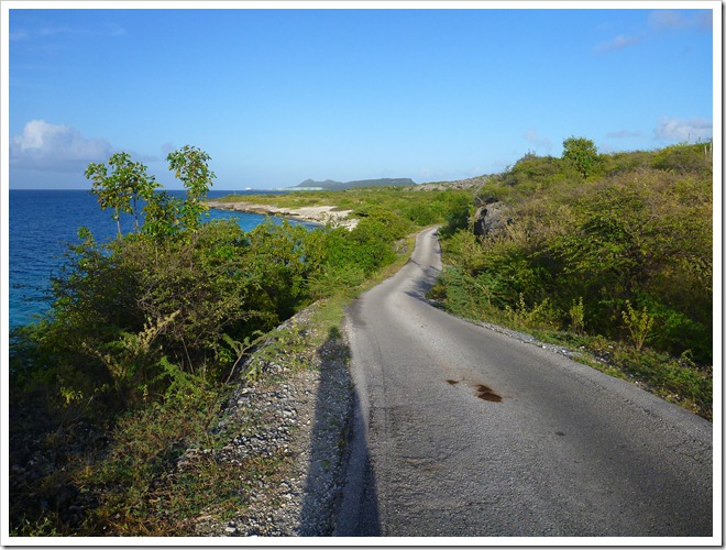
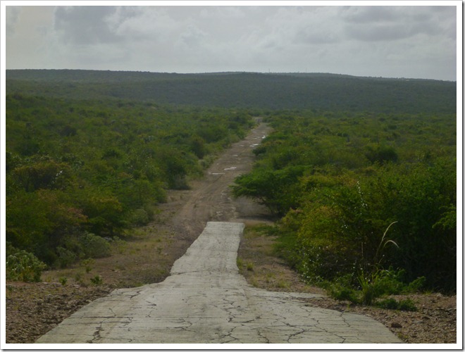
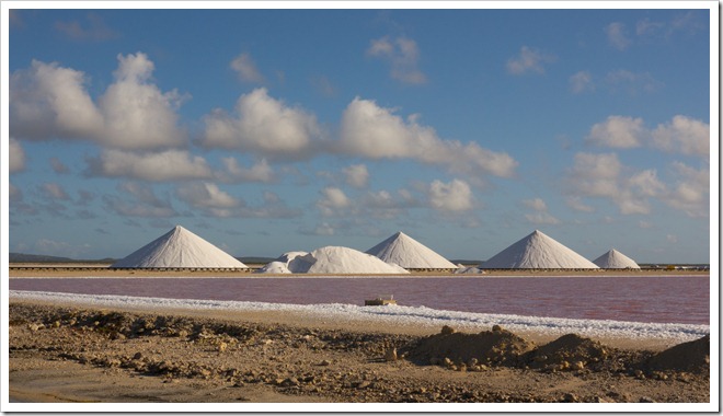
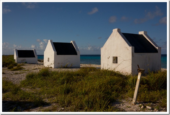
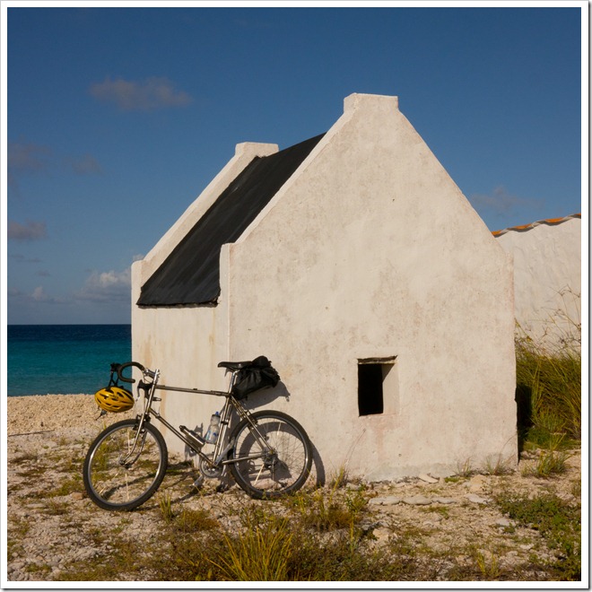
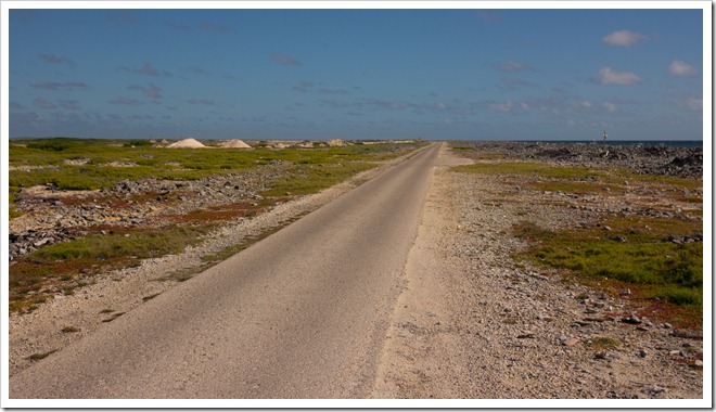
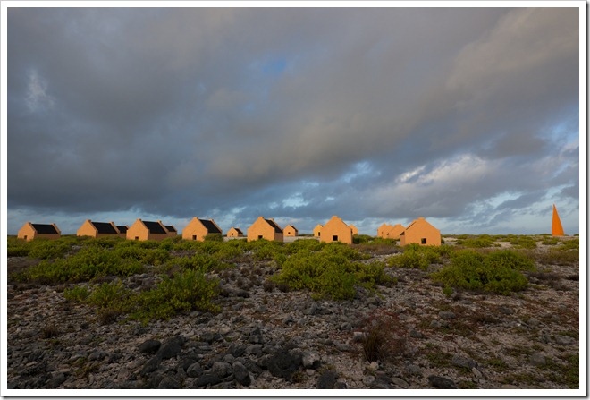
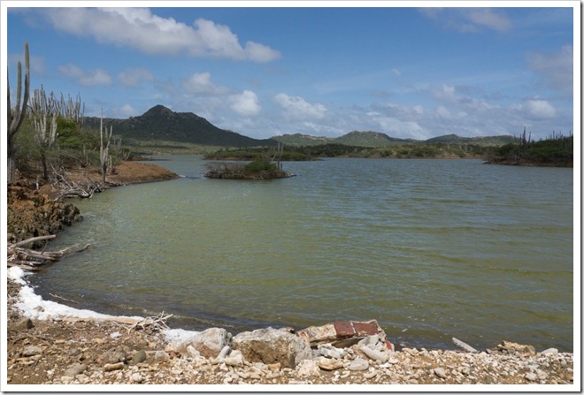
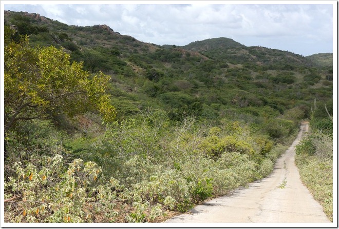
I also brought my new S&S coupled travel bike with me.  In the mornings I’d let Christine sleep in while I went for a ride (hopefully before it got too hot).  The islands paved roads have little traffic early in the morning and there is essentially no traffic on the dirt roads.  The ride to the south went around large salt flats, past some old slave cabins, and was along the coastline the entire time.  It was dead flat though, and had a headwind, which made it a bit less attractive to me.  I preferred to go north where the island has more interesting terrain and better views.  I loved the riding here and would bring a bike again.  My favorite 3 or 4 miles of riding were along the Queen’s Highway, a narrow (one lane) road along the northwest coast which has no traffic, rolling hills, and great views.

North Island:

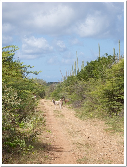
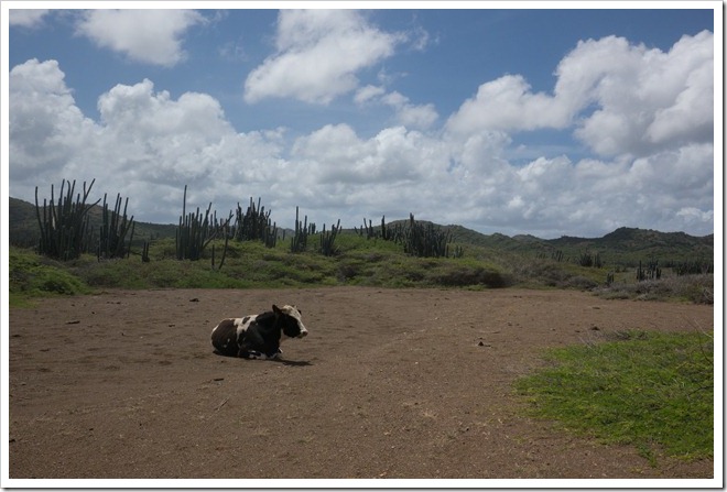
When I ride with John we get stuck behind cows.  When I ride out here I get stuck behind donkeys.

IMG_4413

P1020032

P1020037

P1020049

South Island:

P1010853

P1010854

P1010856

P1010862

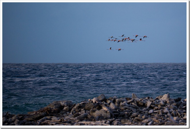
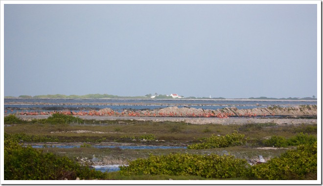
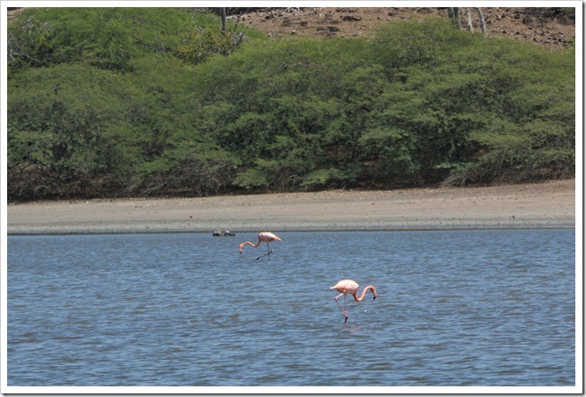
One morning Christine woke up early with me and we drove the south loop at dawn looking for the native wild flamingos that live here (one of their 4 breeding grounds in the world).  There are about 10,000 of them on the island, but they mostly avoid humans and can be hard to find.  During the day many of them fly to Venezuela (about 80km/50mi away) to eat, then return here in the evening.

P1010928

P1010941


P1010920

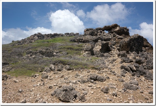
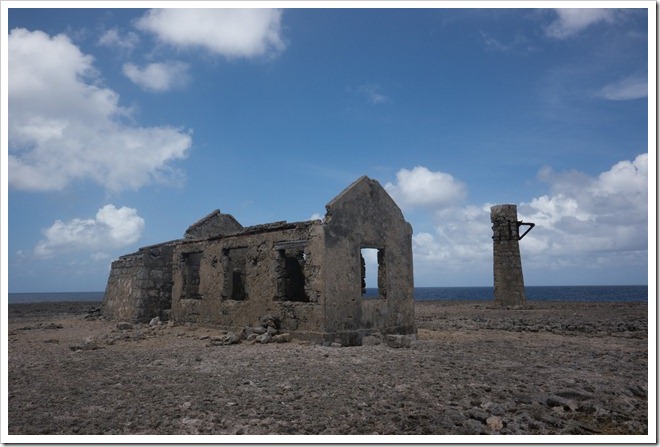
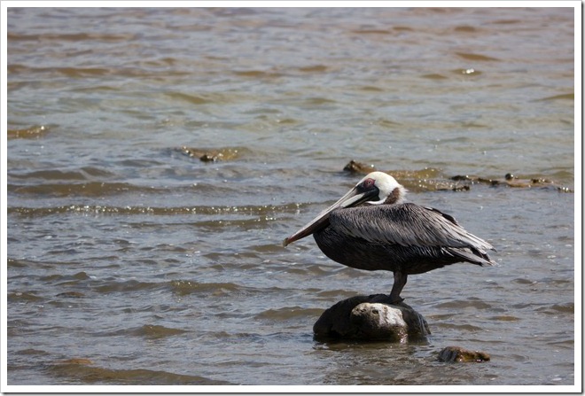
On our last day here (when we couldn’t go diving) we drove up to Washington Slagbaai National Park and explored.  This area covers about 15-20% of the land area of the island and had the most rugged beaches and best birding of anywhere on the island (it was a lot easier to find the Flamingos here, but we also saw more Pelicans, Parakeets, and other small tropical birds).  It was a great way to finish up the trip and doesn’t seem to be well visited.  We drove the whole way through the park (on a very rugged road) and saw less than 20 other cars.

P1030014

P1010977P1010981P1010986P1010991P1010998P1030037

P1010953-2P1030040P1030041P1030042

Overall we had a great trip.  I loved the diving, the riding, and the simplicity (there are few large resorts and food was reasonably priced).  Compared to Hawaii it was a lot less developed.  Compared to Mexico or Jamaica it felt a lot more integrated, with houses intermixed with the hotels instead of trying to put up a pretty façade around the tourists to hide the realities of local living.

We still have many more dive sites to explore, so I’m sure we’ll be back in a few years!

P1010899-2

Velkommen til Nordmarka

I’m in Oslo, Norway for work again and have a couple of days to myself.  My plan today was to rent a mountain bike, but by the time I found the rental place they were closed.  My GPS showed tons of trails in the area though, so I just started walking.

I quickly came to a sign that said “Velkommen til Nordmarka.”  Awesome, that was my backup plan anyway!  Nordmarka just means “north woods” and is a huge forested area in the northern part of Oslo.  This isn’t something small like Central Park in NYC, or Fairmount Park in Philadelphia, the Nordmarka just keeps on going and going and going (click the map and zoom out to see).  The coolest thing is that I got there by taking the T-bane (aka, the subway).

I looked at the map and started hiking towards the closest lake, figuring it might be pretty.  Once I was there I picked out another lake and hiked to there.  By the 3rd lake I figured I had a theme going and mapped out a sequence of lakes that would take me back to a different T-bane station on a different line.  The whole walk was about 18km (a bit over 11 miles) and I barely saw anyone, while hiking inside the city limits!

I’ve often dreamt of living in a city where one could take public transit to wilderness, spend the day or a weekend there (camping is allowed and popular in the Nordmarka) and easily get back home.  The closest thing that I’ve found was Wellington, NZ, but Oslo has it beat.

Sadly I left my camera’s battery in my hotel room, so you just get cell phone pictures.

The Hollemkollen ski jump, where I started my walk.

My first lake stop.

A fairly typical "blue" trail. Blue trails are summer only hiking trails. Red and brown trails are year round and more like tiny gravel roads.

Second lake

This is a ski cabin in the winter, a hiking cabin in the summer. You can stay there for a small fee and with nothing more than a sleep sheet.

The trails were very well signed. Sadly I find it very hard to keep Norwegian names straight in my head, so the signs were often confusing to me. I'm getting better at it though.

Third or Fourth Lake (on the hike), I lost count. The hike finished with three in fairly quick succession. The first of them had another set of cabins at it.

Whenever I thought things were getting a bit quiet there would be a babbling creek to keep me company.

The forest was beautiful and made me want to throw up a hammock and take a nap. Sadly my camping hammock was back in Seattle.

A bit of a view over the trees as I get towards the end of the hike.

This final lake was right next to the T-bane station and seemed to be the local equivalent of Seattle's Green Lake. There were many people out and enjoying the sun.

My route.

View from an airplane window

I was in Norway for work last week and had this wonderful scenery on my flight home:

I think we were over Greenland.  I normally don’t pay attention to the scenery outside on long international flights, this was a nice surprise.

Back to the CdA National Forest

John, Pat, and I had such a good time in the Coeur d’ Alene National Forest in June that we decided to go back this September.  Andre was interested and came along.  To fit the trip into a 3 day weekend Andre and I flew out from Seattle and borrow bikes from John and Pat.  We flew in Thursday night, drove out to the base camp, did a long ride on well established roads on Friday and a short ride exploring side trails on Saturday.  Saturday night Andre and I flew back to Seattle.

Our last trip turned from car camping into bike camping from a conversation that went something like this:

John: How far will we be from the car at the end of the day?
Alex: About 5 miles?
John: Why am I carrying all of this camping gear?  Let’s just ride back here.

This time we didn’t even kid ourselves with bike camping and went whole hog with the car camping.  John and Pat brought along a lot of food for us, two big stoves, a folding table, a pop-up shelter, 4 tents, more sleeping bags that you could imagine, and tons of other gear.  Andre and I just had to bring a little clothing, snacks for the day, and sleeping bags.

Thursday was chilly but it didn’t rain on us.  The first half of the ride used a route that Pat came up with, and took us to the same lunch spot at Magee Ranger Station that we visited before.  We started climbing immediately, but the first half of the climb was a good warm up with about 1000′ gained at 5-7% grade.  The second half was probably twice as steep on and worse condition roads.  The descent into Magee started a bit bumpy, but then we found some nice roads that were great to roll down.

The weather was colder than any of us had expected, but luckily not colder than what we had planned for.  At every stop it seemed like we were adding or removing jackets to keep comfortable. 

After lunch we had planned to follow our June route up to Spyglass Peak.  I was worried about getting that high in elevation and suggested my “wuss route” option.  It looked roughly the same length, but I thought it would keep us 1000′ lower in elevation.  I didn’t check any topo maps to figure that out though, so it ended up having just as much climbing.  It had good views though, and the descent ended about 2 miles from our campsite and kept us off of the only “busy” (meaning 2 cars an hour) road in the whole national forest.

On Saturday we went up what we call “John’s climb”.  We drove out on this road in June and John kept commenting on how nice of a climb it appeared to be.  This time we found it freshly graded and were enjoying the climb up.  Maybe 1/4 of the way up there was an interesting looking spur, so we followed that.  It was gated closed and isn’t used in the summer (only for snowmobiles in the winter), so it was quite grown over and involved some hike a bike.  We found an old building foundation, a tiny dam that must have been used to provide water for the building, and some good riding and hike a bike.  From there we followed a maze of closed roads (some with dead ends) back to camp.  The ride was probably less then 10 miles long, but the slower pace and interesting conditions were a nice change from Friday.

Thanks to John and Pat for loaning Andre and I gear and feeding us like kings.  Andre and I were brainstorming on where we’d take them for similar riding near Seattle and came up empty.  Spokane is lucky to have such a huge and little used national forest just a bit over an hour from downtown.  I’m guessing I’ll visit it again at least once next summer.

Friday’s Route: http://phred.org/~alex/maps/CDA-Friday-Sept-2010/ or GPX
Saturday’s Route: http://phred.org/~alex/maps/CDA-Saturday-Sept-2010/ or GPX

Kayaking the Broken Group Islands

Christine and I spent 5 days of our summer vacation kayaking camping in the Broken Group Islands, off of the west coast of Vancouver Island in British Columbia.

The Broken Group is an archipelago of more than 100 small islands inside Barkley Sound. 8 of them have camping, and the camping is only open to paddlers (no motor boats or sailboats). The islands do a good job of buffering the Pacific Ocean, so the paddling is mostly very calm and flat. The whole area is preserved as a national park, so there is a lot of wildlife and little in the way of buildings. At the same time it was once a very vibrant area of villages for the First Nations people of BC, and there are a lot of artifacts to be found from that time.

We used the guidebook Kayaking the Broken Group Islands: The Essential Guidebook to plan our trip. I think everyone that we met there was using this book. It was a good resource and had details about each of the islands and what to look for on them.

On our first day we parked our car at Toquart Bay and took the water taxi from there to Sechart. This saved us an open crossing (one that we’d have to do later in the trip) and let us get a head start into the islands. Sechart is also the only source of fresh water near the Broken Group, and where most people who are renting kayaks start their trip.

On that first day we explored the inner islands that are closer to Sechart. I was really interested in visiting a large lagoon between Jacques and Jarvis Islands. There are four entrances to the lagoon and we came in through one of the largest ones. The lagoon was very calm since it is protected almost all the way around, and we watched the birds and enjoyed checking out the tidepools. On our way out we took a very narrow passage that Christine was convinced didn’t really exist until we had passed through. I love being able to slip through those narrow passages on a kayak.

On our way out we made a decision to go to Dodd or Willis Island for the night instead of Gibraltar. I had planned on avoiding Dodd and Willis because our guidebook said that they were the busiest islands and popular with guided trips. On the other hand they were well located to set us up for a short day getting to Clarke Island (where we wanted to stay for a couple of nights), and the ranger had told us that the islands weren’t too busy. As we paddled past Dodd we thought we saw about10 campers and maybe should check out Willis. While padding the channel between Dodd and Willis we saw our first whale of the trip, what looked like a humpback off in the distance by the north end of Willis. We hurried over to get a second look, but didn’t see it surface again. We found the campsite on Willis and were initially disappointed by the crowds (about 30 people were there, including two large groups),but found a quiet but compact site with our own little patch of the beach. The couple near us was kind enough to share their beach fire too.

This was an important lesson in camping in the Broken Group. The campsites are close together and you don’t really get much privacy there. On the other hand the other people paddling the Broken Group are from all over the world and are full of interesting stories,so by the end of our trip we were enjoying finding other people. Just don’t go to the Broken Group if you want to camp by yourself.

The fog really moved in quickly that night, and by the time we were eating dinner you could barely see a little island just off of the campsite.

The next morning we got up pretty early and made a fast trip paddle down to Clarke Island. I think our favorite part of that paddle also turned into the most frustrating. We were paddling through a small channel between Turret and Trickett Islands that is beach at low tide and has water at high tide. We both really enjoy paddling in 6 inches of clear water and looking down at the intertidal life. Having a white sand beach below really made the sea stars, crabs, and other creatures in this area pop with color. We floated around there for 30 minutes or more. The bad part was that just as we were thinking about heading on I reached into my bag for the binoculars and heard the plop of something else falling into the water. I didn’t think anything was missing, but 20 minutes later discovered that we had lost our VHF emergency radio. I went back and looked all over for it, but it was gone.

We got to Clarke Island pretty early in the day and found a great campsite out on a point. We setup the tent on a grassy bluff above the point, but there was a great shared fire pit down in the sand, and a nice table made up with driftwood right in front of our site. The sun was out so Christine decided to enjoy some sunny beach time and I took my kayak out to the water to paddle around and practice rolling my kayak. A few hours later we took an impromptu paddle around Clarke Island and loved the scenic beaches on the west and south sides of the island. We also saw our second whale of the trip, a humpback that was closer in to us and just north of Clarke Island.

In the evening we shared the campfire with our neighbors and shared a lot of good stories and laughs. A great part about the Broken Group was having a lot of privacy during the day when out on the boat, but getting to know people in the evenings.

We had decided to stay for 2 nights on Clarke Island, which made our next morning very relaxed. Christine slept in, and then we had a leisurely breakfast before heading out on a day paddle. Our goal was to go to Wouwer Island and find the sea lions that we would occasionally hear. I was worried about the crossing over to there because it is a bit more exposed, but the seas were pretty calm and it went quickly. Wouwer did deliver and we found some rocks that were covered in Stellar Sea Lions.

We paddled around to the other side of the island hoping to get into a giant lagoon called “The Great Tidepool”, but the tide was too low and there wasn’t any good access. However we did find this sea lion who was looking calm and happy.

On the paddle back some small Dolphin entertained us during the open water crossing to Benson Island. We stopped thereto collect driftwood for the campfire. Some neighbor’s on Clarke told us that this was a good source of firewood, and they were right. There were plenty of pieces that were small enough to burn safely and dry from sitting high on the beach. That night Clarke Island was quite a bit emptier, with only a few groups camping. We had a large dinner and enjoyed a good fire, while getting to bed early.

We had a long paddle planned for the next day and got up pretty early to get started. We were planning on going to Hand Island, about 8 miles away, and camping there. Hand is always busy because it is the gateway island in and out of the Broken Group (going to Toquart Bay, where we had parked), and most people stay there on their first and last nights. The paddle to Hand mostly covered areas that we had already paddled and went pretty quickly. It was a really foggy day which made it a bit difficult to get motiviated, and we had both made the mistake of skipping breakfast to optimize our use of the tide. We got to Hand around noon, but hungry and ready for a pot of coffee.

Hand was a disappointment. We didn’t really like the campsites and there was a motor boat illegally camping there. During our meal we decided that maybe we should press on and camp at the Stopper Islands instead. After lunch we did enjoy the shallow waters that were full of bat stars and other sea stars just north of Hand Island.

The paddle over to the Stopper Islands goes on another exposed area called the Davis Channel. It was a little rougher during our crossing and there weren’t really any good beaches to pull over and take a break on. We were happy and tired when we got to the Stopper Islands.

On the South Stopper Island we found a very nice couple named Peter and Linda who were having a cup of tea. They invited us to join them and I think it was really a highlight of the trip for both Christine and I. Peter and Linda had lived all over the world (just in the last 10 years they had lived in Greece, England, and BC) and had been living and working on sailboats most of their lives. They recently decided to move to a house and had settled in BC. They sold their sailboat, but couldn’t give up the water, and in retirement were enjoying day paddles in a pair of kayaks. They both had a great sense of humor and tea lasted for a couple of hours of really fine conversation. It was a great way to finish off an otherwise ho-hum day.

The campsite where we had tea was a bit exposed and windy, so we decided to check out the one on the other side of the island. I’m really glad that we did, it was beautiful. There wasa rocky beach (it was nice to get away from the sand for a little bit) and two large clearings in the woods. One had a good firepit, and the other was great for our tent. We setup kitchen near the firepit, ate a feast of a meal, and played a game of hide the food with the resident mouse who was determined (but unsuccessful) to share in our dinner. I think most people pass through the Stopper Islands, but I have to say that it was one of our favorite campsites. Peter and Linda had been exploring this area of the sound quite a bit on their day paddles and had a lot of good things to say. I could see spending more time in this region on a future trip.

We woke up on our final morning to a steady rain. We hadn’t really planned on this the evening prior, but luckily everything important was properly stored and covered. We had another quick morning of loading up the boats and a short 2 mile paddle back to Toquart Bay, where we finished our trip.

Planning: Seatrails makes a great kayaking chart of the area. It shows the distances popular points and it is easier to read than the official chart that the Canadian gov’t publishes. The guidebook listed above was really helpful. One tricky thing is that you need to bring all of your own water, we brought 10 gallons of fresh water but only used about half of that by being careful when doing dishes.

It does take a long time to get there from Seattle, despite being fairly close geographically. Figure 8 hours of driving. We broke it up a bit by staying at a motel in Port Alberni the night before starting our paddling trip.

We spent 4 nights there, and I think that is a good amount of time. On the other hand I could easily see spending 8 nights there and not getting bored. With some of that extra time I’d have explored the Pipestream Inlet and other areas around Toquart Bay.

Regrets: I wish I had taken more photos, especially of the human companions that made our trip so great. I also need to come up with a better system for carrying and using the camera on the kayak.

We stayed for 4 nights in Tofino at the end of our trip, and that was too long. The paddling up there is great, but otherwise it was an expensive touristy beach town. We rented from Tofino Vacation Rentals and I would not rent from them again, our house was poorly equipped and was missing wifi, despite having had advertised that it came with it.
Orcas Island

We visited Orcas Island for a 4 day weekend of kayaking, cycling, hiking, cooking, and relaxing. March is a good time to visit, it is still the off season so you can get good deals on lodging (we rented a little waterfront cottage for about 1/3rd it’s normal rate) and the crowds are lower, but the weather is good enough to spend most of your time outside. Everything was very green. I really enjoyed cycling the trails in Moran State Park and kayaking in West Sound.

all photos

Kauai

Christine and I went to Kauai a few weeks ago for our 10th wedding anniversary (I can’t believe how quickly time has gone by). I’ve been lax about writing about it, so I’m just going to post a few photos.

Terraces at Limahuli Gardens

Maha'ulepu Shoreline

Maha'ulepu Shoreline

Snorkeling with the turtles in some surf

Waimea Canyon

More photos here: http://alexandchristine.smugmug.com/Travel/Kauai-2009

A couple of neat things from Philadelphia

There is this great bike rack a couple of blocks from my brother’s house in Fishtown. Not as functional as the Seattle Bike Racks, but much cooler looking. Click for big to check out details:

I visited Drew at Engin Cycles yesterday and he showed me a couple of ways to slot dropout tabs in the milling machine. The first one is for a trammed mill, the chainstay is rotated:

In the second one the head is rotated and the chainstay stays square to the table:

I like his method of using the V-block with a little shim of 058 tubing to hold the chainstay in place. He is a lucky guy to have two mills, one that can stay in tram all the time and one that he can move the head around on.

This sign in Delaware made me laugh:

I know the 35mph is for cars, but it made me think of a 35mph speed limit for runners.

Remnants of a steam tractor in Blackwater Wildlife Preserve near Cambridge, MD. There is some great photo potential of that on an overcast day with some good B&W film. Digital on a sunny day didn’t do it justice.

Chestertown, MD to Newark,DE bike ride

I’m on the east coast visiting my family this week. My mom and I enjoyed a nice mother’s day weekend on the Eastern Shore (of the Cheasapeake) andtoday I headed up to my dad’s house outside of Philadelphia.

I flew out here with my folding bike (Bike Friday Tikit). The $15 bag checking fee ($30 round trip) is annoying, but still cheaper and more enjoyable than renting a car. My clothing suitcase is a small carry-on bag from RickSteves that fits nicely on the front porteur rack. Ithelda few days worth of clothing, my laptop, camera, and other stuff.I had a saddlebag for tools and a few other items. My mom is driving up this way in a few days and will bring my bike suitcase along. I love the Tikit and it’s great for this type of trip. The i-Motion 9 that I put on there is working very nicely too.

The ride was an enjoyable route mostly on small 2-lane roads through farms. I didn’t hit any traffic until getting within spitting distance of Newark. At Newark I hopped on Septa (Philadelphia’s regional rail system) and took the train up to my dad’s house. The riding was about 60 miles and pretty flat. I think over here these would be called rolling hills, but in Seattle this would be called flat.

Thanks to Frank from bikede.org for helping me with the route. He suggested about 70% of what I rode and his suggestions were spot on.

typical farms of the area

typical 2-lane blacktop.  No shoulders, but without traffic I don't need shoulders.

There are horse farms too

The bike

Taking the train up to Philadelphia.  The saddlebag goes into the suitcase when the suitcase isn't on the bike.

All photos (most of them are on here already).

Notes from my previous similar trip. I took a different route, but the scenery is similar.

I’ll come back later and link to the route on Bikely.

A week in Mazama

Our summer vacation this year was sort of 3 vacations right after each other. You’ve heard about the two smaller ones, our 3 day weekend on Lopez Island celebrating our 9th wedding anniversary and the 3 day Bumbershoot Festival. The highlight of my summer vacation time off started right after Bumbershoot when we rented a house in Mazama, WA for a week.

Mazama is the first town that you get to when crossing the North Cascades Highway from west to east. It is about 15 miles from Washington Pass and is surrounded by National Forest, National Park, and Wilderness. The town itself is tiny and basically consists of a general store (but the best general store that I’ve ever been to), a post office, a climbing guide service, and a couple of hotel/inns. We stayed about a mile out of the core town in a nice rental house that overlooked this big alfalfa field:

It was a great vantage point from which to watch birds, deer, and sunsets.

Rising up to the north of our house (just barely north) was “Goat Wall”. This is a cliff which climbs really steeply and then turns into Goat Mountain, with Goat Peak at the top of it.

One of the great things about Mazama is that it is the western end of the Methow Valley Sport Trail Association trails. This is a set of cross country skiing, walking,and cycling trails that criss cross the Methow Valley,and they went right by the door of our rental house. We used them every day to get to the Mazama Store or to the river and often just for walks or relaxing bike rides. The roads were nice too, but the trails were great.

A highlight on our second day was when we were walking along the trails and saw 3 black bears (two cubs and their mother). We kept a safe distance and watched them for a minute before retreating back to the road. I only had a small P&S camera in my pocket, so the photos aren’t great, but here are the bears:

Look closely at this one and you'll see 3 black bears. One (the mama) standing up, a cub just beneath her and in the tree on the right closer to the foreground is a second cub.  (Christine's notes)

The trails were really well built and had some cool features such as this suspension bridge over the Methow:

The big attraction of the trip for me was all of the nearby hiking and mountain biking. I brought up my new (to me) Rocky Mountain Hammer mountain bike, my IvyCycles with knobby tires, and our tandem. On most days I went for a mountain bike ride in the morning and a hike in the afternoon. It was great to be near so many great trails without needing to drive much.

There were two hikes that were real highlights for me. Sadly we forgot the camera on the first one, but it was a hike that started at Hart’s Pass and went out to Grasshopper Pass. The whole time you are hiking on a ridge line with fantastic views down into the valleys on either side. There were fires in some of these about 5 years ago and it was interesting to see the patterns of what the fires got and what they didn’t. The wildflowers were out (even this late in the year) and it really felt like we were on top of everything.

The other great hike was up to Blue Lake just past Washington Pass. I did this hike twice, once with Christine and again with our friends Larry and Kathy. It’s a quick hike (5 miles round trip, about 2.5 miles each way) with good views of the pass near the top and a stunning lake. I hiked it with Christine on a Saturday and the trail and lake were both quite busy. When I hiked it with Larry and Kathy we went on a Thursday morning and had the lake to ourselves for well over an hour.

The hike up to Goat Peak was also a good one, but challenging. I did this solo and early in the morning. The trail isn’t long (around 2 miles), but it climbs almost 2000′ in those two miles. It felt like I was walking up stairs for much of it. There is a fire lookout at the top, so I knew there would be good views. I wasn’t disappointed, but I think that the views from up by Hart’s Pass and Grasshopper Pass were even more stunning.

The mountain biking was also really good. I did a bunch of trips, some solo and some with friends. The first group of friends to visit us were Ben and Vanessa and their kids. Ben brought his mountain bike and we went riding up the West Fork Methow River trail. This was interesting because we could look down into this valley while driving up to Hart’s Pass, and it is one of the valleys that was in the fire 5 years ago. The underbrush was eating up it’s new found sunlight and was really thick. The trail is 8 miles out and back, and we went about 5 miles before turning around because the brush was too thick. The trail was the right mix of technical and fun, especially when coming back and riding it downhill. Sadly I seem to have mis-placed the memory card with the photos from that one.

Larry also brought his mountain bike when he visited and we went up to Sun Mountain Lodge. That is 15 miles away in Winthrop and is well known for it’s mountain biking. The trails up there were a little too easy (not very technical, ridden out as my friend Rory put it) but it was still a great day of riding bikes with Larry. I also forgot a camera (do you sense a theme?). We did a roughly 20 mile loop suggested by the bike shop in Winthrop which covered most of the trails. There was a lot of climbing in the middle and the ride ended on some nice downhill singletrack that was a lot of fun.

When we didn’t have friends visiting I still got some riding in. On my first morning in Mazama I headed up to Cedar Falls on my IvyCycles with slick tires. I just rode up to the falls and back, so it was mostly road riding on SR20 with a little trail riding at the end. The trail was a lot of fun though, and I wish I had gone back with the mountain bike and rode the whole thing. The falls were spectacular, but you can only see them from the top:

A couple of days later I tried to find singletrack in the Rendezvous Ski Trails. The roads that lead up there are easily accessible via the MVSTA trail system, so it seemed like the best option for a full dirt circuit from the rental house. There was a lot of climbing, some good views, cattle trying to block my way, but no singletrack. I asked later at the bike shop in Winthrop and they said that the Rendezvous area was better for XC skiing than cycling. It was still a nice loop for the morning, all on pretty good dirt roads. I would like to have more time to explore some of the side roads up there.

The final solo MTB ride that I did was up to Cutthroat Lake and back. This is the closest legal to bikes trail near Washington Pass. The lake wasn’t too spectacular, but the trail was good and there were a lot of good views.

All in all it was a good week of hiking, riding, and relaxing. I hope we can return again next year.

Full set of photos